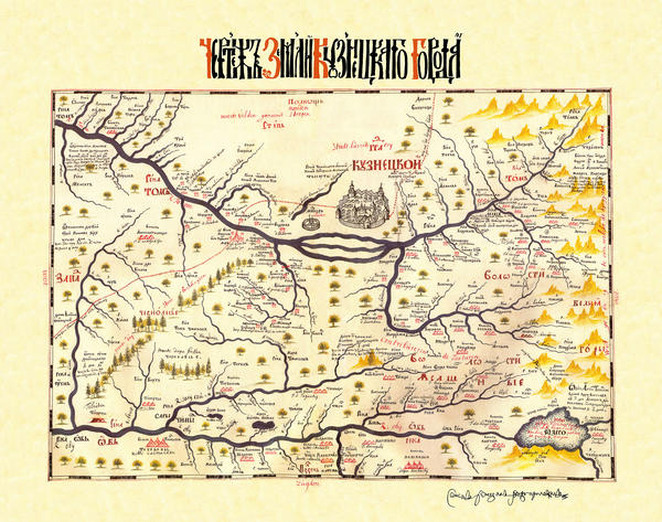
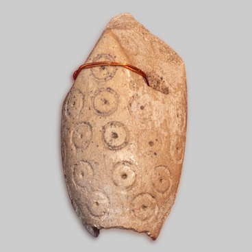
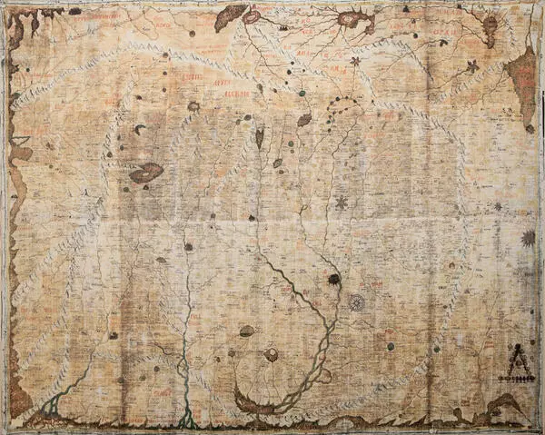
The drawing of Kuznetsk city site is taken from the ‘Book of Drawings from Siberia’ — the first Russian geographical atlas combining the results of the Russian geographical discoveries of XVII century. The Atlas was compiled by a Tobolsk small landowner Semen Ulyanovich Remezov and was issued in 1701.
The map opens the exhibition dealing with Kuznetsky ostrog and demonstrates how the region was colonized by the Russian service class people; it shows the location of Russian villages and non-Slavic yasAk districts – the areas that paid tributes in furs.
The map has a legend – a map key – in Russian and in Dutch. Semen Remezov, in his explanation for the Book of Drawings identifies three types of major sources that he used while making his drawings: old Siberian drawings, geographical manuscripts and interrogation of those in the know. Remezov mentions several times ‘Siberian city drawings’ prepared earlier, that were delivered from Siberia to Moscow, to the Siberian PrikAz (government agency), and those that were prepared within the PrikAz. He notes exactly that out of 24 ‘pages’ of his atlas, only 7 were ‘written anew’. According to him, he copied the remaining 17 pages from earlier sample of the Siberian local city drawings brought from Siberia to Moscow and prepared in Moscow. Those copied pages may contain Remezov’s supplements and corrections.
An important source for Remezov’s ‘Book of Drawings’ which he used actively and mentioned multiple times, are the ‘skaski”(stories) of those in the know. At the beginning of the description Remezov explains that he took the “drawings” found in the Siberian Prikaz and brought them to Tobolsk where he again interrogated people of various classes and descent – foreign nationals, old-timers and those who came to live in the city from other lands. Remezov clarified everything: “size of land and road distances, cities, their villages and regions, about the rivers, creeks and lakes, and about Pomorsky seashores, gulfs and islands and deep sea fishing, about the mountains and forests, and all types of natural boundaries that were not previously described in the drawings”.
One of the “city” drawings contained in the “Book of Drawings of Siberia”, was a drawing of Kuznetsk and its district. The drawing was copied by Remezov in 1697 in Moscow. The drawing is likely to have been sent long before the “order” of the Siberian Prikaz dated 1696 on providing information on Siberian cities and districts, and was stored in the archive. The drawing shows the ostrog and the suburbal palisade walls of Kuznetsk, and the towers. There are four towers in the suburban part of the city, two of them are passable. Two towers are clearly seen in the ostrog. The suburban wall along the river is semicircular, the other part of it is zigzag-shaped. Two roads begin from the two side towers — to Tomsk and “to Kyrgyz”. Near Kuznetsk there is a picture of fortified monastery.


