The reign of Peter I was an important milestone in the development of domestic cartography. In this direction the Tsar relied more on the experience of European geographers, who by this time had developed a fairly advanced scientific cartography system. The Emperor issued several decrees concerning the general map of Russia: training of surveyors, training of engravers and organization of the national cartography. But all these innovations have only partially affected the territories beyond the Urals. Technical equipment and human capacity did not allow to present vast expanses of Siberia on paper. However, those territories could not be ignored, because a growing country needed to know all its lands.
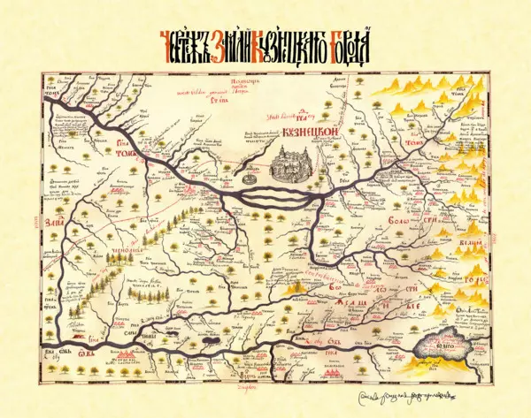
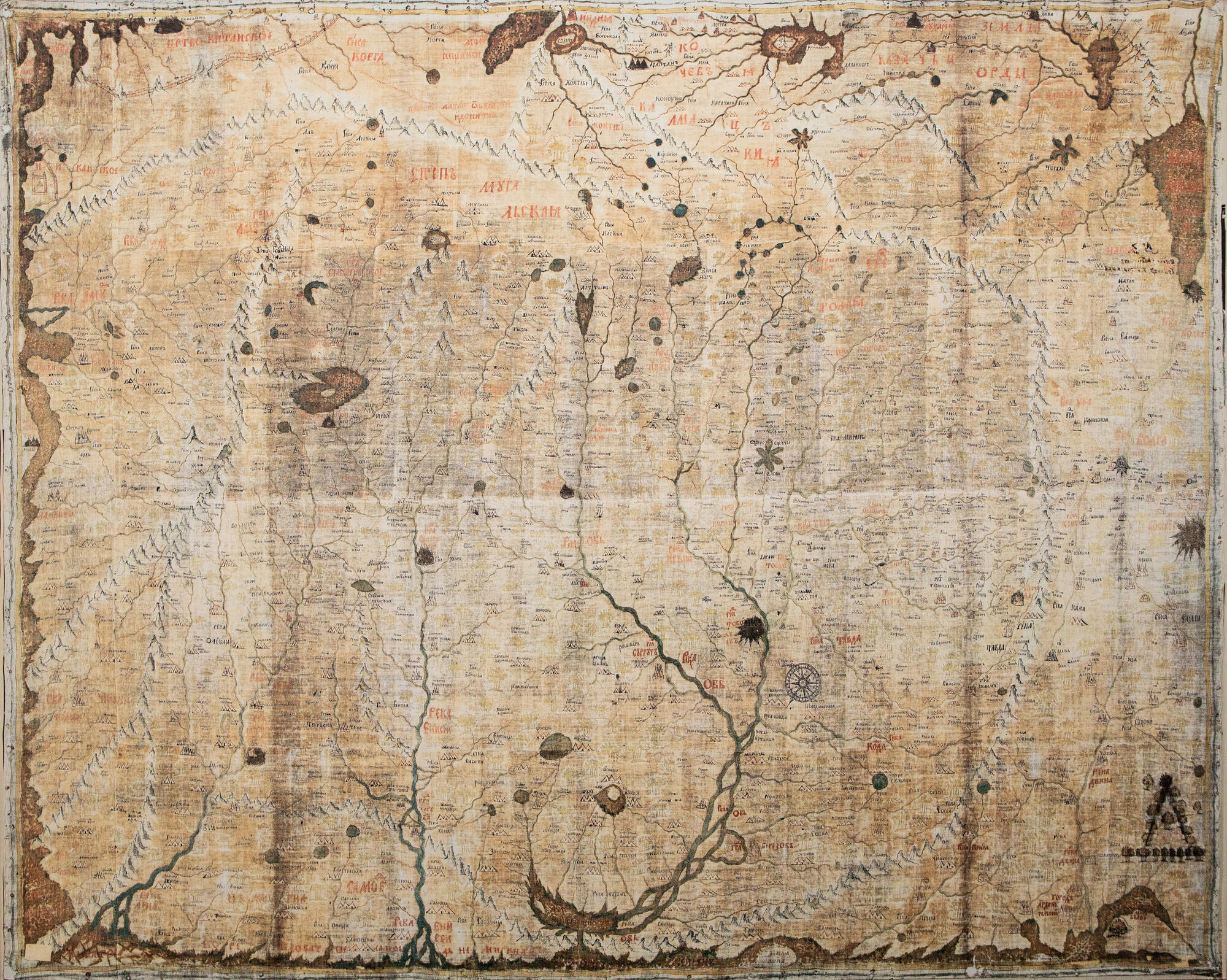
Semyon Remezov created a map of Siberia, which became a document of the transitional era – he combined methods of traditional Russian and new European cartography therein. In his work, Remezov used drawings of previous years, many of which have not survived to the present day, and famous maps drawn by Western European scientists.
Especially for Tsar Peter I he created a map of Siberia ‘on white elm’, the ruler kept it constantly in his office. The original map is kept in the Hermitage Funds. The Ancient Russian map was created on the basis of observation, and was essentially a pictographic representation of a path or a few partially overlapping land and water roads. It was based on oral descriptions of service people and the locals. Parts of the world on the map are mixed up: South is on top. The main reference point is the sun at the zenith point (the height of the midday sun in the south is higher than in the north). The compass drawn by Semyon Remezov to correctly read the map is sometimes perceived as a decorative detail of the drawing.
While on government service, Semyon Remezov left an impressive scientific heritage: he created the first Siberian geographic atlases — ‘Horographic drawing book’, ‘Drawing book of Siberia’ and ‘Service drawing book’, he became the author of the chronicle ‘History of Siberia’.
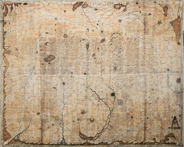