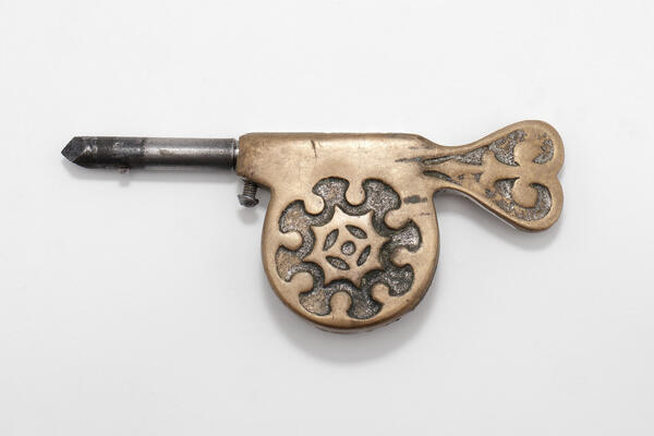
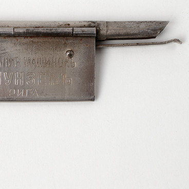
An opisometer or curvimeter is a device for measuring the length of winding lines on topographic maps, plans and drawings. According to various versions, the opisometer was invented either in Ancient China or Ancient Rome, however, the official patent was granted to the Englishman Edward Morisson at the end of the 19th century. Mass production of the opisometers was established in Germany, and the device quickly became popular all over the world.
The first part of the word curvimeter comes from the Latin word “curvus”, meaning “curve”, and the second part “meter” means “measurement”. The opisometer is used by the military, geologists, sailors, hunters, engineers, architects, fishermen, travelers and mountain climbers. Today there are electronic opisometers with a liquid-crystal display that can be connected to smartphones. Mechanical devices are simpler, more reliable and do not require recharging but their error margin is slightly higher.
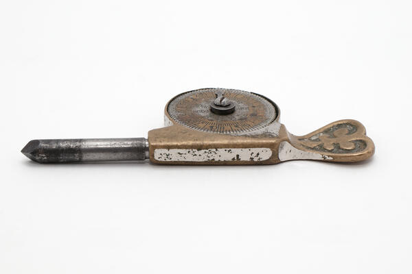
The opisometer consists of a handle, a gear roller and a counter. To measure the length of the curve, an opisometer roller needs to be rolled over it. In some cases the scale moves, in others only the arrow. The length of the average scale is 100 centimeters. To find out the length of the curve, the circumference of the roller is multiplied by the number of teeth passed. For the convenience of determining the distance, the dial of the mechanical opisometer is equipped with a scale with units of length measurement.
Usually the device has two dials, one on each side. The opisometer scale is graduated in centimeters, inches or kilometers. Electronic opisometers can display the distance in kilometers, miles and nautical miles.
In emergency situations, a wristwatch dial can be used as an opisometer. To do this, the crown is pulled and rolled along the desired trajectory, marking the time before and after the measurement was taken. To convert these measurements into units of length, a ruler is measured in the same way and a quotient is obtained by which the map measurement should be divided. The inaccuracy of such a measurement is much greater than the one obtained by using a proper device, but it is quite acceptable for rough estimates on large-scale maps.


