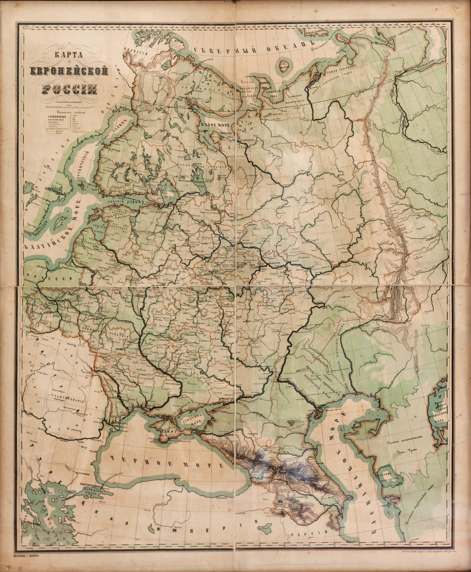
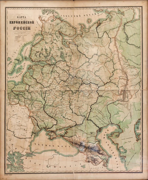
On the wall in Alexander Ulyanov’s room, there is a map of European Russia, printed in the second half of the 19th century by the cartographic establishment of Alexey Afinogenovich Ilyin in St. Petersburg. In 1929, when the House-Museum of Vladimir Lenin was getting ready to open, the restoration commission requested a map for Alexander Ulyanov’s room. The geographical division of the Leningrad Institute of Scientific Pedagogy sent it.
At the turn of the 18th-19th centuries, thematic mapping was developing — objects related to each other by the same theme were placed on maps, and attempts were made to identify patterns of their distribution. For example, which provinces had more roads, and which lacked them.
The map presented in the exhibition is a transitional map from a complex to a thematic one. It is both administrative and political, as well as economic. It shows provincial and district towns, administrative centers, and provincial borders, as well as economic centers and roads. The printer used gray-blue, black, and color ink.
Under the title is a legend, ‘explanation of the signs’: capital cities, provincial and district cities, out-of-town fortresses, borders, and symbols for marinas, canals, roads, monasteries, factories, suburbs, villages, and towns.
The degree grid in the upper left corner of the map has the inscription ‘from Ferro and Pulkovo’. The meridian, or longitude, of Ferro, passes through the island of Hierro in the Canary archipelago, which is located in the Atlantic Ocean. It used to be called Ferro and was considered the westernmost point of the Old World. It was first used for navigation in 150 A.D. by Claudius Ptolemy, and in 1634 in France, the longitude of Ferro Island was adopted as the zero meridians. However, different countries took different meridians as a reference point on land charts. The Russian Empire, in addition to Ferro, used the Pulkovo, Warsaw, and Paris meridians, and naval charts were oriented by Greenwich and Pulkovo. Since 1884, the International Meridian Conference by a majority vote chose the meridian passing through the main telescope of the Greenwich Observatory in Great Britain as the zero points. Participants of the conference recommended to all countries to abandon several meridians in favor of one common. On the maps of the Russian Empire, the Pulkovo meridian was not used as the prime meridian until the beginning of the 20th century.


