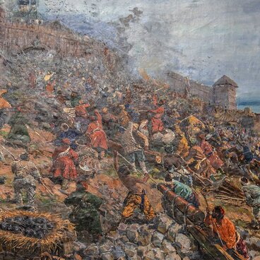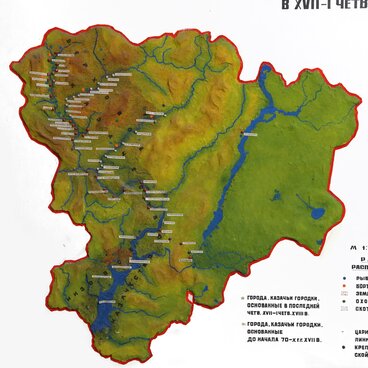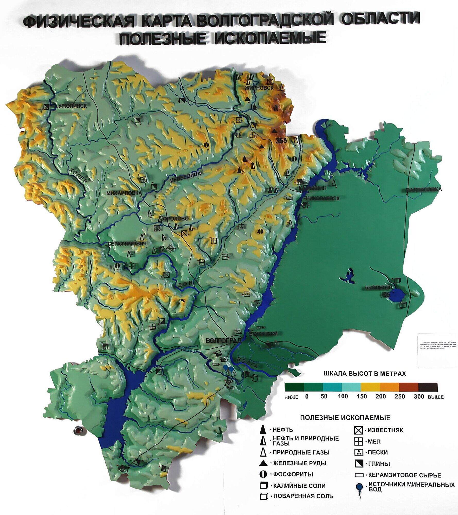
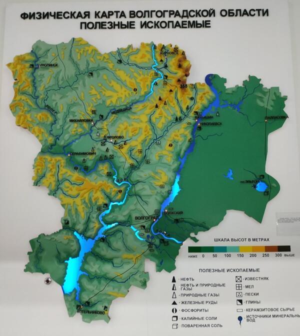
The first sub-theme of the hall “Nature of Volgograd region” in the Volgograd Regional Museum of Local History is the physical and geographical characteristics of the region as a geographical environment in which human activity develops. The exhibition opens with a comprehensive physical map of the region, which allows to see the surface relief.
The physical map of the Volgograd Region is a scaled-down image of the region drawn in a map projection. It shows all geographical phenomena: relief, hydrography, borders, main highways, minerals, and socio-economic elements.
Thematic maps present the specific features of the climate, geological structure and location of minerals, soil and vegetation cover, and the fauna. The first geographical maps appeared almost at the same time when humans developed the skill of drawing, but they bore little resemblance to modern maps and represented their distant prototypes.
Maps in their more conventional form have been around since before Christ. The “ancestors” of maps looked like schematic drawings on the walls of caves and dwellings, on ancient crockery and stone slabs. One of the first maps is believed to be an ancient relic that was found in the territory of modern Iraq.
This map was very famous and influenced people’s perceptions of the world, which was depicted as flat and round. Anaximander’s map shows the Earth as an oval, extending from east to west. Another map that has come down to this day is that of Hecataeus of Miletus in which the world is depicted as having three parts, Europe, Asia and Libya. Ptolemy drew a map of the world, to which some 30 other, more detailed maps were appended. Until the Age of Discovery, these were the main cartographic documents for travelers and scientists.
Thanks to the physical map of the Volgograd Region, which occupies five square meters in the museum, visitors can understand where the region’s highest and lowest points are, find the locations of mineral springs, and learn where explorers discovered oil, natural gas, clays, sands and table salt.