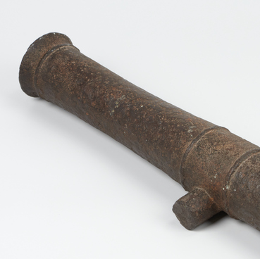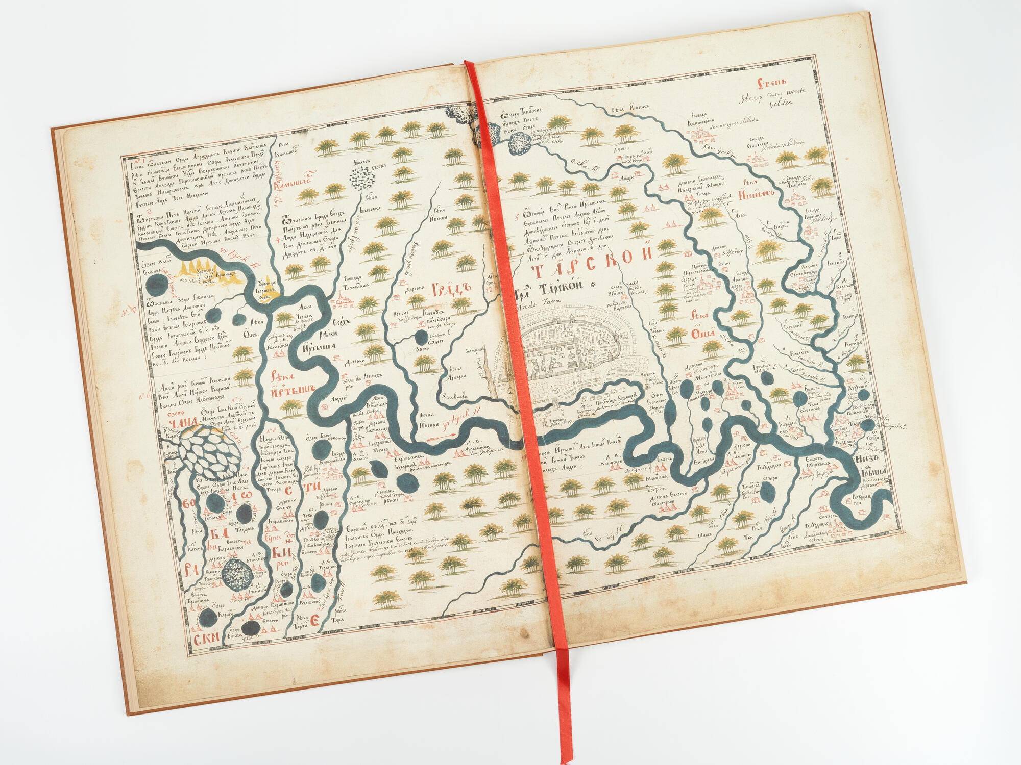
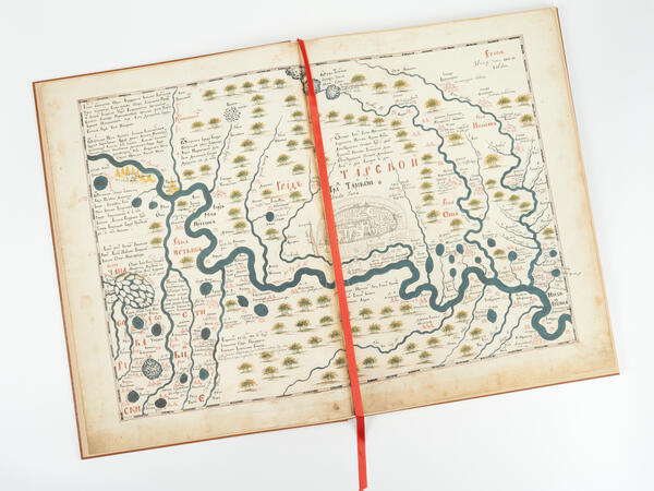
The ‘Drawing Book of Siberia’ is a publication of the ‘Tobolsk Renaissance Foundation’. The book is dedicated to the creative and scientific works of a Tobolsk geographer and researcher Semen Remezov. This is a facsimile of the original book, which is stored in the Scientific Research Division of Manuscripts Department of the Russian State Library in the collection of manuscripts of Count Nikolai Rumyantsev. The ‘Drawing Book of Siberia’ is the first Russian geographical atlas that summarized the results of geographical discoveries of the 17th century.
The facsimile differs from other types of reproductions in that the original source is reproduced in exact scale, color, and other material qualities. In other words, it is an exact copy of the original. Until the 19th century, to create a facsimile, a copy of the drawing was made on transparent paper. Then, from this paper, the image was transferred onto wood or metal with the help of carving or engraving, and then a lithographic copy was made. Nowadays, it is much easier to make facsimiles thanks to photography, phototyping, and photoengraving.
Semen Remezov compiled the ‘Drawing Book of Siberia’ in 1699–1701, together with his three sons. It consisted of a foreword and 23 large-format maps, covering the entire territory of Siberia. They were distinguished by the abundance and detail of information. The settlements of local nomadic tribes, forest areas, rivers, lakes, cities and villages were included in the book. In addition to diagrams, maps, and illustrations, the book contained explanatory texts which indicated the distances between settlements in versts (a Russian unit of length equal to 1.067 kilometers) or in days on the road. When compiling the book, Remezov used not only his mathematical calculations and measurements but also maps and data that were stored in Moscow. The maps from the book were made without the latitude and longitude grid and had a south-up map orientation (instead of the north-up orientation). Individual map drawings were made exactly to scale, which was difficult to do at the beginning of the 18th century.
Remezov compiled an index of geographical names (toponyms) and inscriptions that were on maps. He used two different types of assembling map elements on a page: some symbols were indicated for each sheet separately; others were consolidated. The first edition of the atlas with the foreword by Remezov was published by the Archaeographic Commission in 1882 in St. Petersburg.