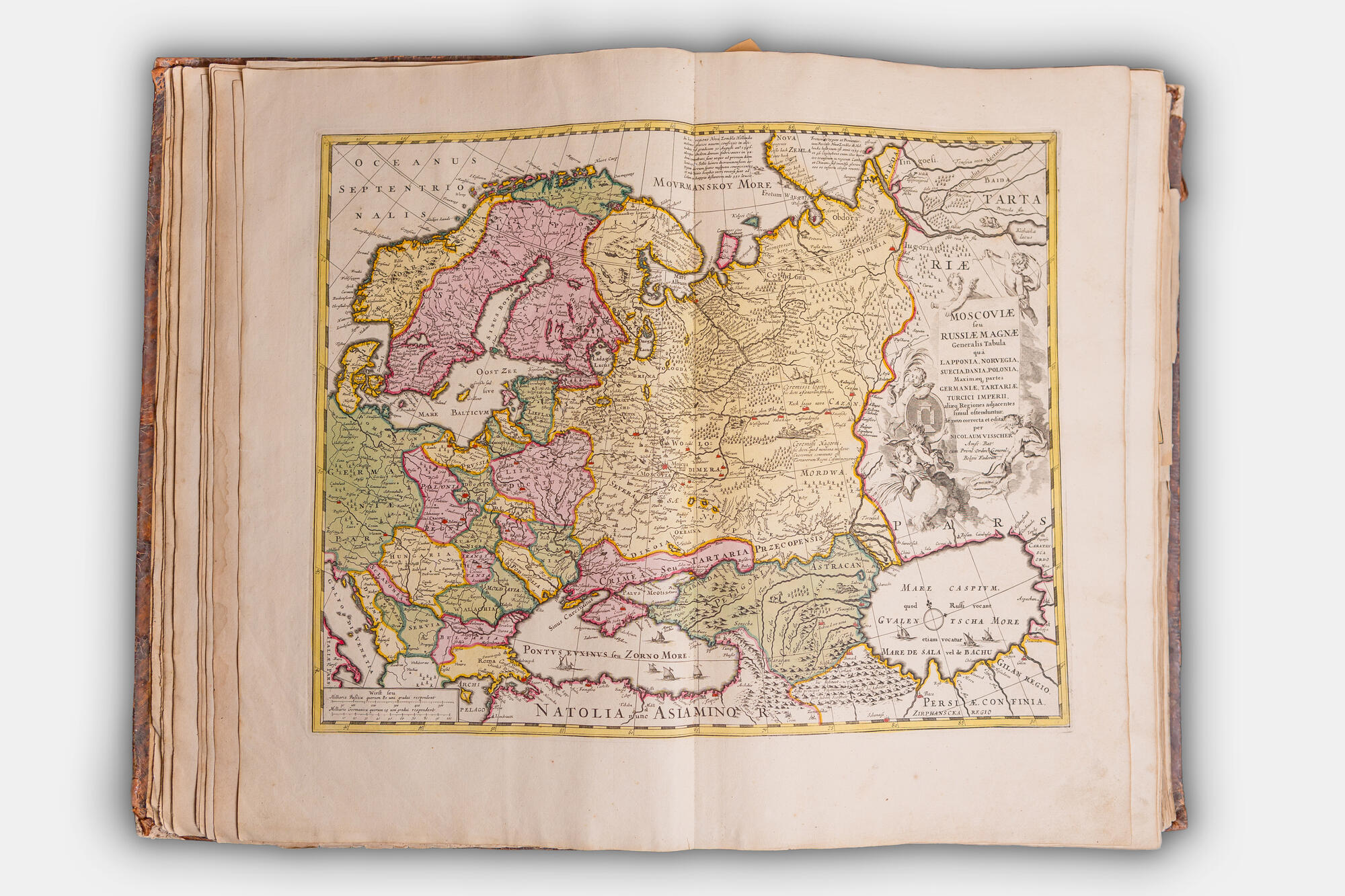
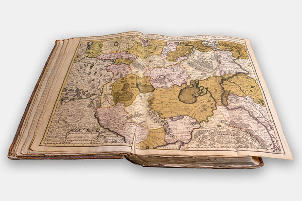
The collection of the Dmitry Burylin Museum holds one of the most interesting cartographic atlases of the 17th century. This collection of maps was printed at the end of the 17th century by the publishing house of the Visscher dynasty of Dutch engravers and cartographers.
The enterprise was a family business. It was founded by Nicolas Joannes Visscher. The publishing house provided maps and atlases for almost all of Europe. In the 17th century, the Visscher enterprise published materials under the name Piscator (from the Latin word piscator meaning “a fisherman”). The founder of the family business, also known as Piscator Senior, was a talented engraver. He went down in the history of art as the publisher of the so-called “Illuminated Bible” (Lat. Theatrum Biblicum, 1650). For this book, Visscher Sr. prepared about five hundred linecuts based on drawings by Flemish and Dutch masters. The edition of this book is also present in the rare book collection of the Burylin Museum. After the founder’s death, the Piscator House was headed by his only son Nicholas I (1618–1679), and in 1682, the patent for publishing was granted to the founder’s grandson — Nicholas II (1649–1702).
The atlas presented in the exhibition was published in the 1680s. Subsequently, the maps were copied by other publishers of the time, in particular by Peter Schenk, although it should be mentioned that the Visschers themselves were known to occasionally borrow maps from earlier compilers. For example, the map of Moscovia (Central Russia) that is featured in the Visscher Atlas is in fact an expanded copy of a map of Russia that was drawn by Hessel Gerritsz in 1614. This map of Moscovia is also notable for showing the territory that is part of the modern Ivanovo Oblast. The towns of Plyos and Yuryevets in the Volga region, as well as the settlement of Lukh are also marked on the map. However, the latter’s position is more than puzzling, because, according to Dutch cartographers, Lukh was a Volga town along with Plyos and Yuryevets. However, the same map places Yuryevets higher than Plyos which also does not reflect reality.
The atlas of Visscher’s maps is displayed in the
permanent exhibition and is located in the European Collection Hall of the
Museum of Industry and Art. It is open on the pages with the map of Moscovia.


