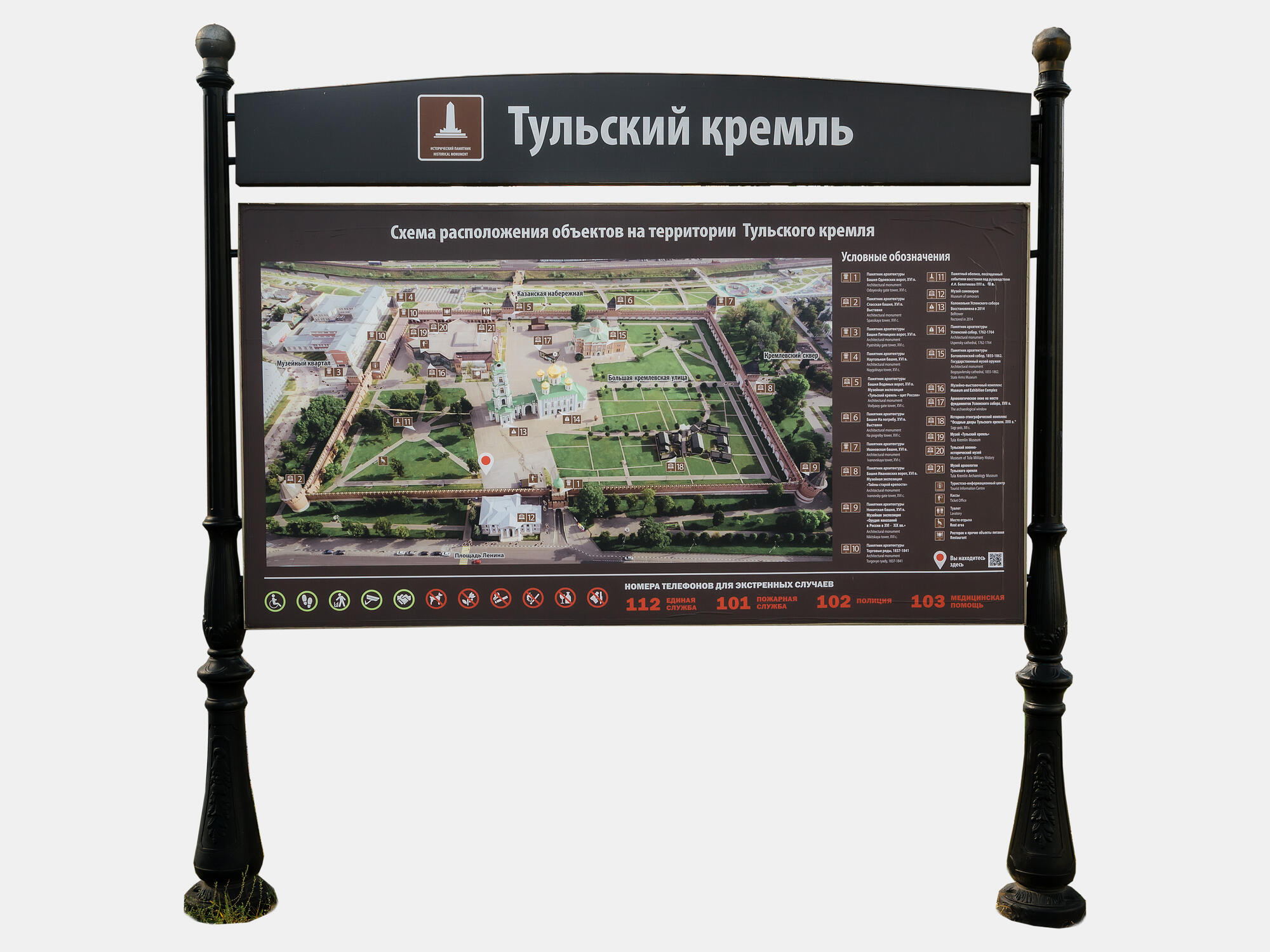


The Tula Kremlin is a monument of Russian defensive architecture of the 16th century. It protected the southern borders of the Russian state, was the main fortress link of the Zasechnaya Line and never surrendered after an attack. The Tula Kremlin was founded in 1507 by Grand Prince Vasily III, father of Ivan the Terrible. By 1520, the fortress acquired its present-day appearance — it was rebuilt in white stone and brick.
The uniqueness of the Tula Kremlin is that it has retained its original appearance of a medieval fortress without significant destruction over 500 years. The Kremlin is a single architectural ensemble with valuable examples of architecture from different eras and styles.
Unlike most fortresses, the Tula Kremlin is located not on a hill, but in a lowland, surrounded by slopes and rivers. This was because at the beginning of the 16th century, the landscape no longer played a decisive role in choosing a location for a fortress due to the development of firearms.
The Kremlin has the shape of a regular rectangle and covers an area of six hectares. It was surrounded by a moat, four meters deep and eight meters wide, and filled with water. Wooden bridges were built across the moat to the gate towers. It fell into disrepair in the late 17th century. Today, the moat is filled with ground, and there is a garden in its place — the City Kremlin Garden.
The Kremlin towers protrude beyond the perimeter of the walls, which made it possible to provide flanking fire. In total, there are nine towers in the Tula Kremlin — four round corner towers without an entrance from the outside called Spasskaya, Naugolnaya, Ivanovskaya, and Nikitskaya; one rectangular tower without an entrance called the Cellar Tower and four towers with gateways: the towers of the Vodyaniye, Ivanovskiye, Pyatnitskiye and Odoyevskiye Gates.
In the 1640s, the construction of a new line of fortifications, the Belgorod Zasechnaya Line, was completed, the border of the Moscow state moved far to the south and Tula ceased to play the role of a border fortress.
The space inside the Kremlin walls was densely packed with siege yards. By 1685, there were “72 houses of people of all ranks, and 4 empty houses, 27 empty places” in the Kremlin. The first stone cathedral of the fortress — the Assumption Cathedral, which was mentioned in the medieval Scribe Book — was built on Cathedral Square.