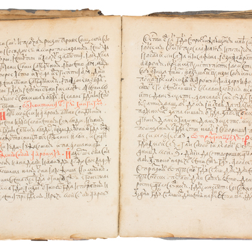
Pomor charts or nautical books were common navigation guides, which were distributed among the industrialists of Pomorye from the 17th century. The sailing routes described in the charts covered the coastal waters of the White, Barents and Norwegian seas.
Charts were created by sailors of Kem, Soroka, Sumsky Posad, Arkhangelsk. They took the form of small notebooks. The text usually began with a cross and a prayer. Those books included everything that a Pomor might see in his sea route. Charts were inherited in Pomor families and over the years were supplemented by new observations. To this date, twelve charts are known. In literature, the manuscript kept in the Arkhangelsk Regional Museum was named after the owners and, it seems, its authors — ‘Dvinin’s chart’ or “Dvinin”s nautical book”. Compared to other charts, this one is the most complete and detailed.
The chart belonged to O. Dvinin, and before him, to his grandfather, who lived in Sumsky Posad, and from whom it was passed on to his son, and then to his grandson, who moved to the Tersky coast in Kuzomen in 1909. It was given to the museum in 1934 by O. Dvinin.
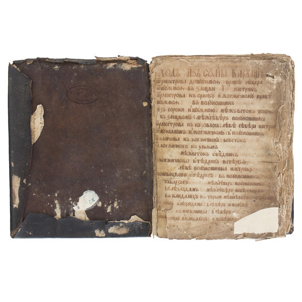
The manuscript contains 24 sheets sewn with canvas thread. The book is written in half-running hand. There are postscripts and notes on pages 14, 15, 18 and 24. The edges of the pages are noticeably frayed, and some of them have a watermark — a bear with an axe. The text of the manuscript has been fully preserved. The dark brown leather binding was reused, as evidenced by the remains of the pages of the document that the cover had previously contained. A fragment of the document is glued on the inside of the binding, and on it, there is a signature of Archpriest of Sumsky Parish Gavriil Molchanov and a date: 1828.
About four hundred toponyms and hydronyms, as well as ship stops and camps, places of trade and exchange, are indicated in the chart. It uses marine terminology and the Pomor dialect of the Russian language. A lot of capacious, in two or three words, descriptions of sea marks, lookout places, waters and ports where it is possible to wait it out till the headwind starts. They caution about places where it is impossible to hide from the weather.
The manuscript contains eleven sections:
1. From Suma to Arkhangelsk.
2. From Arkhangelsk to Norway.
3. Tersky Coast.
4. Along the Norwegian coast.
5. Back from Norway.
6. From Arkhangelsk to Pomorye.
7. From Orlov to Onega.
8. From Arkhangelsk to Mezen.
9. Detailed course descriptions.
10. To Varzuga.
11. Sea marks of Varzuga.
1. From Suma to Arkhangelsk.
2. From Arkhangelsk to Norway.
3. Tersky Coast.
4. Along the Norwegian coast.
5. Back from Norway.
6. From Arkhangelsk to Pomorye.
7. From Orlov to Onega.
8. From Arkhangelsk to Mezen.
9. Detailed course descriptions.
10. To Varzuga.
11. Sea marks of Varzuga.