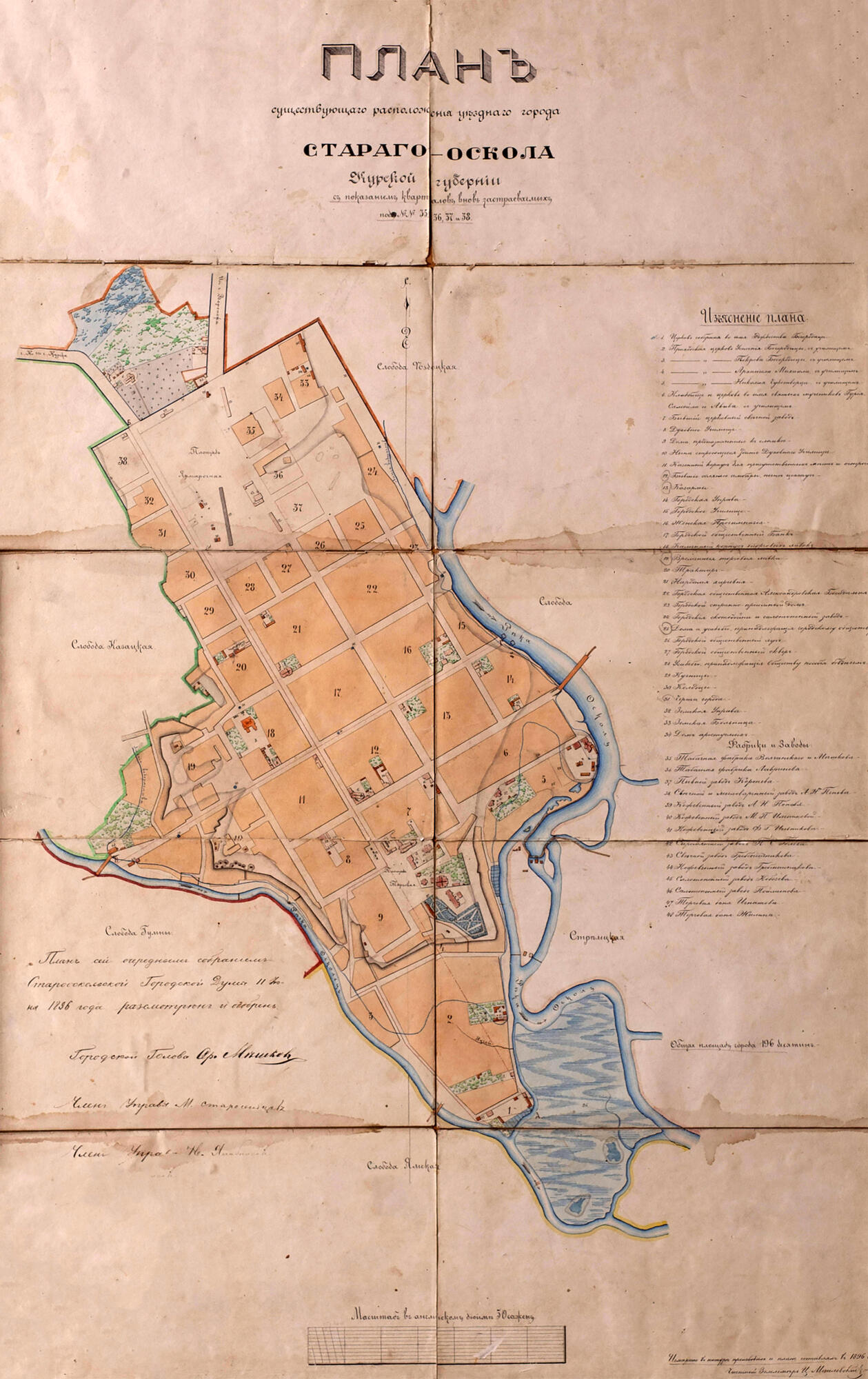
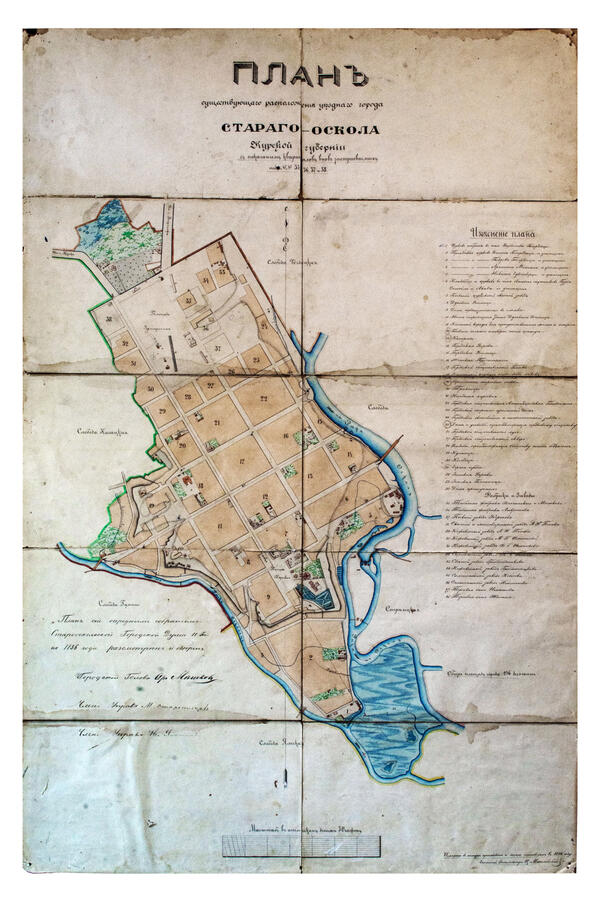
The plan was printed in yellow and brown colors. It shows the borders of the city, the location of residential quarters with administrative buildings, educational institutions, temples, and public buildings, gardens and squares, factories and plants. It also displays the location of adjoining villages and rivers. The plan was made in 1896 by the private land surveyor C. A. Mozilevsky.
The plan was considered and approved by the regular meeting of the Stary Oskol City Duma on June 11, 1896. It specified further development of the city. The total area of the city was 196 desiatinas (214.13 hectares). There were 38 quarters, 2 squares, 3 main streets (Kurskaya, Belgorodskaya and Voronezhskaya) and 28 minor streets and lanes.
Upper Square was specially designed for trade fairs, so it also had another name — Fair (Bazarnaya) Square. Trade fairs on Upper Square were held after the revolution as well, up to the beginning of the Great Patriotic War. Among its new attractions were a photographer, always equipped with “the miracle equipment of the 20th century on a tripod”, merry-go-round, “giant steps” rope swing, organ-grinder, and even silent movies in the evening.
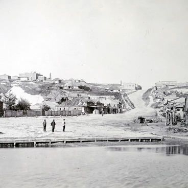
Lower Square is the former center of the old fortress. Its second name — Torgovaya —
was related to the trade and social center of the fortress, and later the city, which was located on this very place. In the early 20th century, Lower Square was the site of Epiphany Cathedral, the garden of the Commercial Assembly, rows of shops, the City Duma, Treasury, police headquarters, prison; there were also private buildings including the house of the merchant Kobozev and the Turminsky pharmacy.
Until the first quarter of the 19th century, residential and administrative buildings were constructed according to the working plan and sheet, drawn up by the Starooskolsky district surveyor, Ensign Lavrentiy Kuzmich Arkhipov. City plans and their copies were approved by the provincial and government authorities and were kept in the appropriate institutions. Most blocks of the city were rectangular, except for those that adjoined steep slopes, where their shape depended on the terrain relief. The next stage of city development was connected with the plan, approved by Nicholas I in 1841, when the block buildings were moved on one line with Kurskaya street and the site of building new blocks from the side of Fair Square was determined. The changes introduced in 1896 concerned the appearance of new blocks and the renumbering of the old ones.


