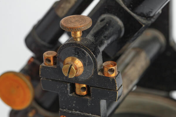
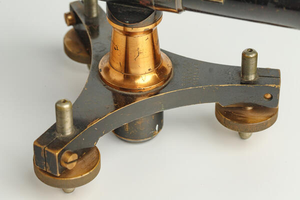
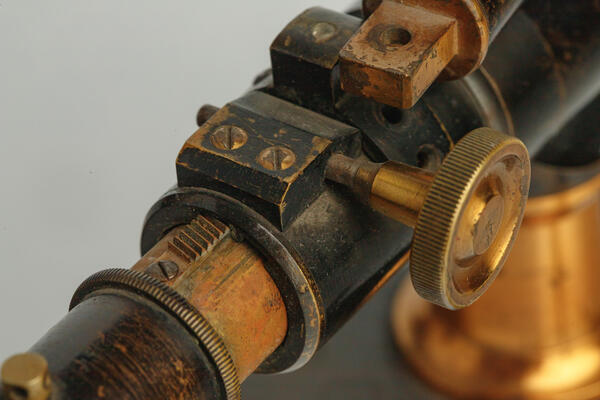
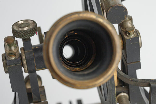
The Museum of Intelligence Officer Nikolai Kuznetsov houses an early 20th-century leveling instrument manufactured by the firm G. Gerlach. This geodetic device was used for leveling — the process of determining height differences between points on the Earth’s surface. Its operation relies on the principle that light travels in straight lines, allowing the instrument to establish a stable horizontal reference plane against which all vertical deviations are measured.
The level is one of the oldest geodetic instruments. The earliest known description of a leveling device — based on the principle that liquid always seeks the same horizontal level in connected vessels — appears in the writings of Heron of Alexandria in the 1st century AD. However, optical levels did not emerge until the mid-19th century. A major breakthrough came in 1857, when the Amsler-Laffon workshop developed a leveling instrument equipped with crosshairs and a spirit level, paving the way for practical field use. Later, in 1890, the Russian geodesist Dmitry Danilovich Gedeonov designed a high-precision optical level featuring an integrated tubular spirit level.
From the late 19th century onward, levels became indispensable tools in construction, engineering surveys, and topographic and geodetic work. In the second half of the 20th century, laser levels were introduced and are now widely used in modern construction. Today, Russia’s leading manufacturer of optical levels is the Urals Optical-Mechanical Plant, while instruments from the Experimental Optical-Mechanical Plant in Moscow also remain popular among professionals.
Nikolai Ivanovich Kuznetsov, the legendary Soviet intelligence officer, first learned to use geodetic instruments — including levels — during his studies at the Talitsa Forestry College (1927–1929). In the spring of 1930, he moved to Kudymkar in the Komi-Permyak National Okrug, where he began his career as a forest inventory specialist. He supervised the clearing of survey lines, conducted forest assessments (calculating timber volume), and prepared descriptions, forest compartment records, and afforestation maps.
These technical skills proved invaluable in his later intelligence work: precise measurements and proficiency with maps were essential for navigation, terrain analysis, operational planning, and coordination. The museum displays a level similar to those Kuznetsov would have used during his early career in forestry.