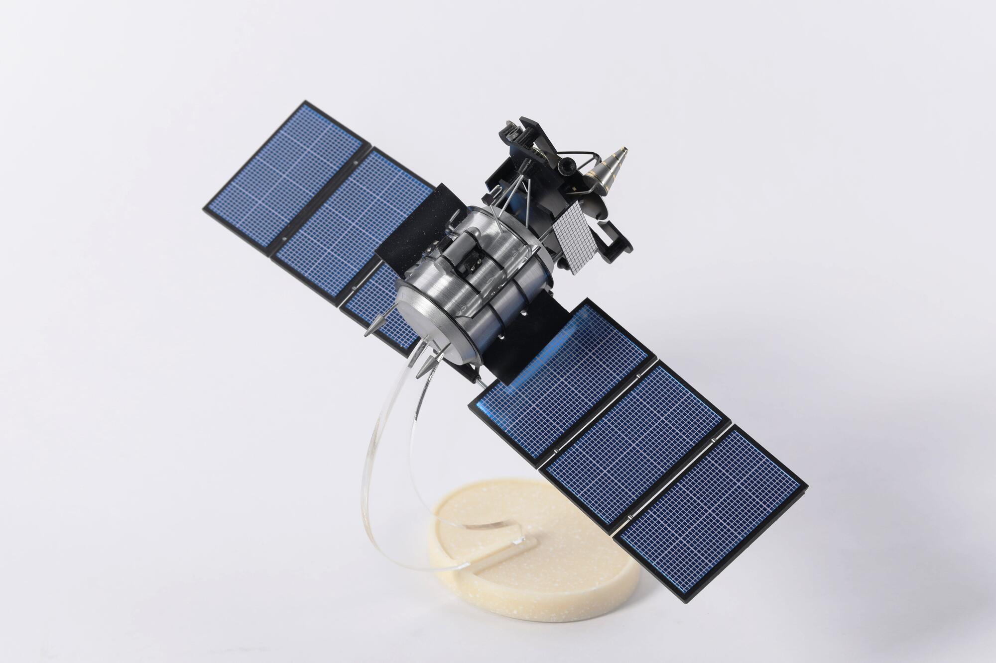
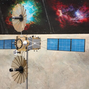
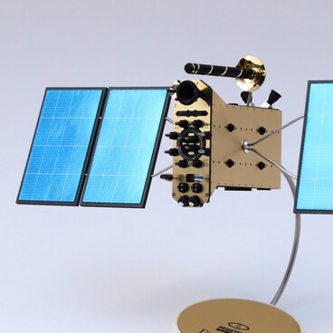
Geodesics is the scientific discipline which deals with the study of the Earth’s exact shape, its gravitational field and its axial rotation. Geodesic research and measurements are used for purposes such as cartography, prospecting, land management, cadastral mapping, the construction of buildings and roads, and identifying regions of high seismic activity. Experimental Design Bureau (now Information Satellite Systems named after M.F. Reshetnev JSC) began working on the creation of a space-based geodesic observation system in the 1960s. The first geodesic devices were the Sphera series satellites, launched in 1968–1978. They enabled the USSR to develop its own global geodesic network. In 1981 a new generation satellite, the Geo-IK, was launched. In total, between 1981 and 1994, 14 such satellites were launched. In parallel with this launching program, from 1982 onwards work continued on upgrading the satellite, and the new version was named Geo-IK-2. But work made slow progress, due to lack of funding. In 2001, funding for the program was resumed and in February 2011the first satellite in the Geo-IK-2 series was launched. Unfortunately the satellite failed to reach the correct orbit and was thus unable to function as intended, and in June, 2013, it left its orbit. The next two satellites were launched into orbit on June 4, 2016 and August 30, 2019.
The Geo-IK-2 satellites weigh 900 kg each, which means that they can be launched by a light Rokot launch vehicle combined with a Briz-M upper stage rocket from the Plesetsk cosmodrome. They follow a solar synchronous orbit at a height of 1,000 km above the Earth’s surface, and with an inclination of 99.4 degrees. They have a service life of 5 years. The energy supply system power is 1 000 W. The satellites are equipped with a range of instruments, including the SADKO radio altimeter, an on-board synchronization device, a dual-band retroreflective antenna, and distance-measuring request and response and doppler distance measurement systems. In the next ten years, a new Russian space-based geodesic system consisting of five Geo-IK-3 satellites will be deployed on the orbit.
The Geo-IK-2 satellites weigh 900 kg each, which means that they can be launched by a light Rokot launch vehicle combined with a Briz-M upper stage rocket from the Plesetsk cosmodrome. They follow a solar synchronous orbit at a height of 1,000 km above the Earth’s surface, and with an inclination of 99.4 degrees. They have a service life of 5 years. The energy supply system power is 1 000 W. The satellites are equipped with a range of instruments, including the SADKO radio altimeter, an on-board synchronization device, a dual-band retroreflective antenna, and distance-measuring request and response and doppler distance measurement systems. In the next ten years, a new Russian space-based geodesic system consisting of five Geo-IK-3 satellites will be deployed on the orbit.


