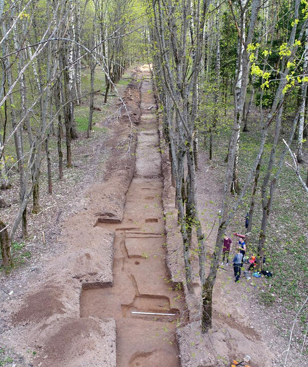
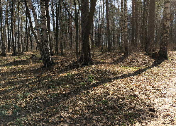
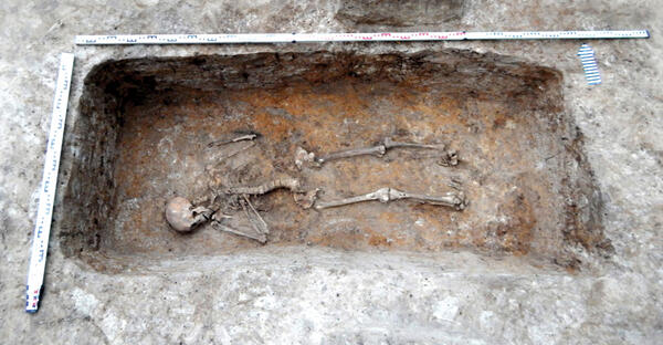
The photograph from the documents of the museum shows a burial ground — the easternmost Slavonic kurgan necropolis. It is located on the banks of the Klyazma River, on the territory of the park of culture and recreation in the western part of present-day Gorokhovets. No other kurgans were found in the near vicinity.
The first archaeological research on this group of kurgans was led by the researcher Valentin Vasilyevich Sedov in 1956. In 1976, the excavations of the kurgans in Gorokhovets were resumed by the Suzdal archaeological expedition of the Archaeology Institute of the Russian Academy of Sciences and the Vladimir-Suzdal Museum-Reserve.
Archaeological research on the territory of the group of kurgans was also carried out in 2015. The scientists managed to determine the boundaries of the territory, compiled a topographic map of the site, as well as identified the parameters and the current state of the burial mounds.
Three exploratory shafts, that is, vertical pits (measuring 1×1 m) were laid along the longitudinal axis, and in them, ceramic objects were found. The archaeologists managed to determine that it was made no earlier than in the 18th century.
On the territory of the burial ground, two clusters of kurgans are distinguished. The first consists of 25 mounds; the second, stretched along the right bedrock bank of the Klyazma River, includes 80 mounds. They range from 3 to 10 meters in diameter.
Groups of kurgans of Kievan Rus, represented by the Gorokhovets burial ground, not only performed a practical function but also served as a system of designations that marked the presence and development of a certain landscape. This idea is supported by the fact that the Gorokhovets kurgans are located in a visible place — on the edge of the bedrock bank.
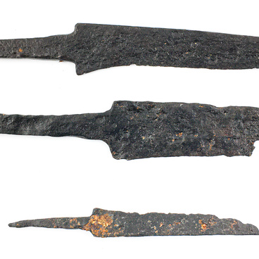
Large and rather deep burial pits, absence of objects in inhumations, and small-sized mounds are common for burial grounds in the Volga-Oka interfluve, including early kurgans of the 11th century. The Gorokhovets burial mounds have almost perfectly preserved their original appearance and, unlike most groups of kurgans, have not been plowed up.

