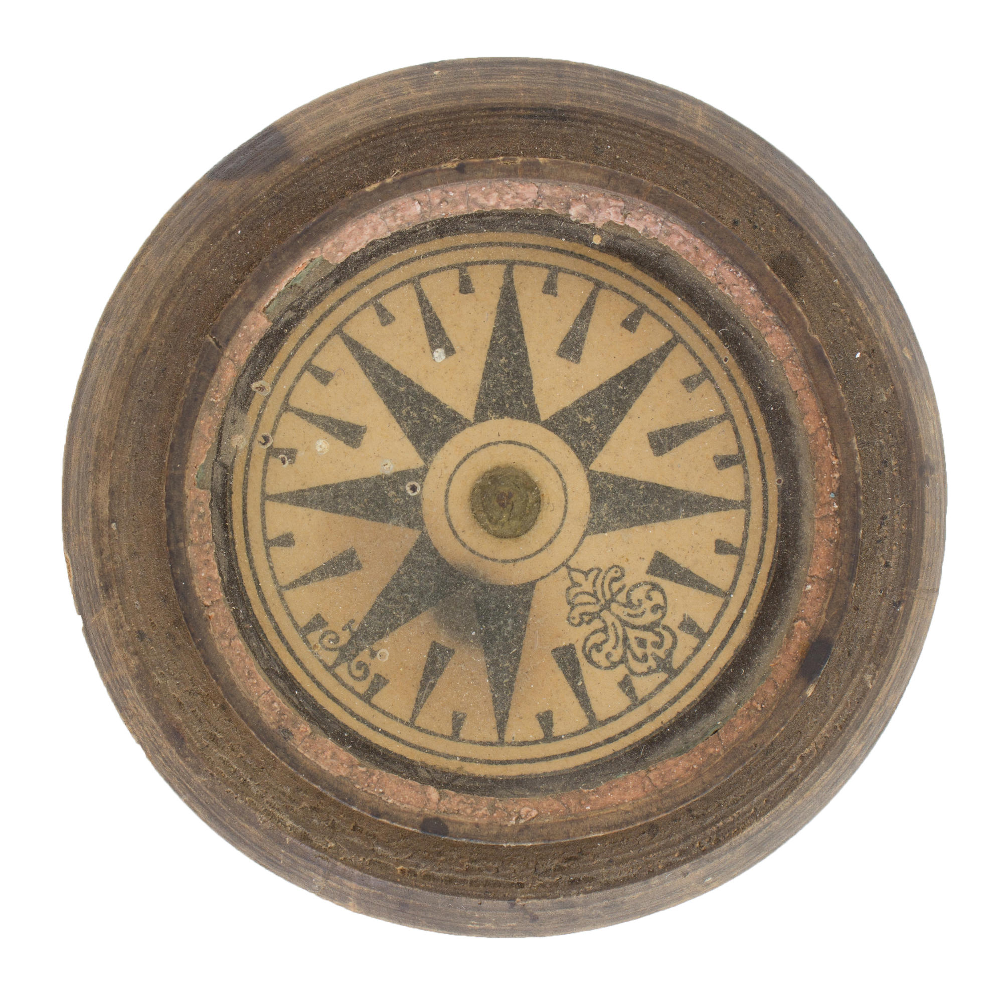


The compass was purchased by the expedition of the Arkhangelsk Regional Museum in 1988 from A. S. Krykalov from the village of Shotova Gora, Pinezhsky District. It belonged to his father, the hunter S.E. Krykalov (1889-1939).
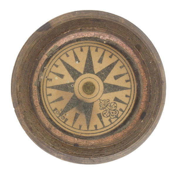
The compass has a brown wooden lathe work case with a 5-centimeter glass panel hermetically fixed in it. Inside is a magnetic arrow with a card. On the card on a white background there are 32 brown rhumbs. The card is divided by six circles. The main and quarter rhumbs are drawn in the shape of an eight-pointed star with rays coming from the third circle. The remaining rhumbs are isosceles triangles. The northern rhumb is decorated with swirls, the eastern has two small ones. Rhumbs are not signed. Judging by the technology, the compass was made in Solombal (Arkhangelsk district).
A compass is the main navigational device on a ship. Its Pomor name is ‘matka’ (mother). Every year, hundreds of fishing and transport vessels set sail from villages on the White Sea coast. Since the beginning of the 15th century, the routes of Pomor voyages from the White Sea around Scandinavia have been known, which were used both for trading operations and for carrying out ‘sovereign orders’. Pomors fished regularly on Murman, Svalbard — Grumant, Novaya Zemlya — Matka. Ships went to Mangazeya and Siberia.
The use of magnetic compasses in the Russian North, according to archaeological research, arose no later than the 17th century. In the old days in Pomorye, compass cases were made of wood or bone, including fossilized mammoth tusks. Usually they had a lid and were placed in a special leather bag. The arrows were made of iron obtained from swamp ore which was plentiful in Pomorye. Instead of glass, in the old days they used mica of local extraction — ‘Muscavite’. The card was made of paper. The cardinal points depicted as an eight-pointed rosette, as a rule, did not have letter designations. The North direction was indicated by a curly arrow. Unlike European compasses of the time, where in addition to the ‘north’, ‘west’ stood out, on the Pomor compasses it was ‘east’.
Pomorye had its own names of cardinal points: N — north, NO — polunochnik (night-bird), O — east, SO — obednik (lunch), S — nooner, summer, SW — shelonnik (after Shelon River), W — west, sunset, NW — poberejnik (coast), golubnik (dove). Such compasses were used not only in the sea, but also on land by hunters. Compass-making in Pomorye continued until the 1920s.