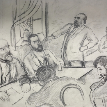
In 1613, the Zemsky Sobor (‘Assembly of the Land’), elected the first of the Romanov clan, Mikhail Fedorovich, to be the Tsar. Peter I, the successor of the dynasty, became the first Russian Emperor. The male line of the family, which came from Mikhail Fedorovich, ceased with the death of Peter II, the grandson of Peter the Great, but the Romanov dynasty continued to rule Russia until the revolutionary events of 1917. The last reigning Romanov was Emperor Nicholas II.
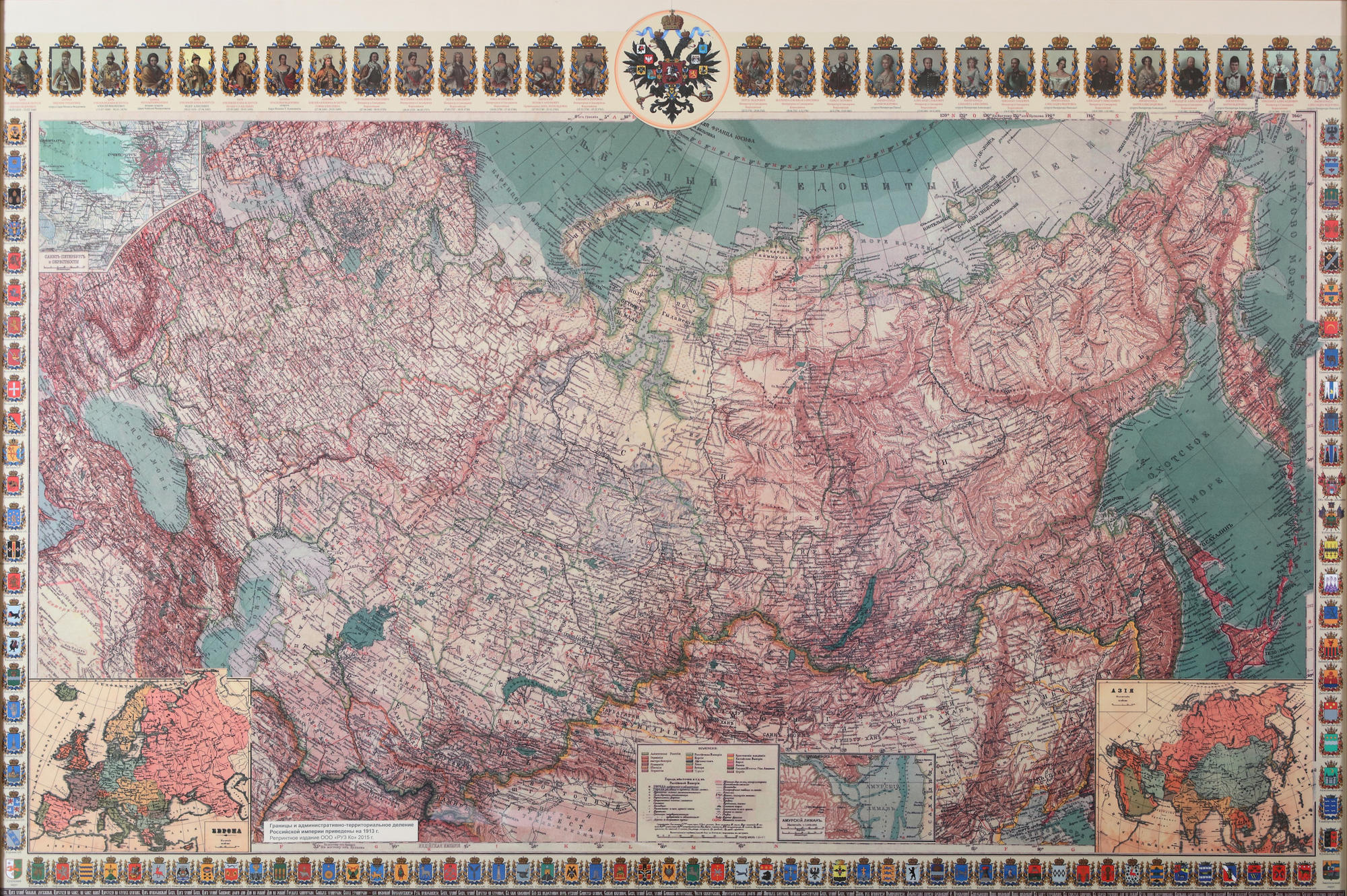
In 2013, the year of the 400th anniversary of the accession of the first Romanov to the Russian throne, the Map of the Russian Empire as of 1913 was published.
1913, the year before the outbreak of World War I, was called the ‘peak of prosperity of the empire and the year of the great jubilee’. That year, the 300th anniversary of the Romanov dynasty was widely celebrated. The whole country enjoyed military parades and participated in prayers, high society gave festive receptions and balls, peasants and townspeople held noisy festivities. On the festive occasion, many prisoners were amnestied, and debts were removed from entrepreneurs and landowners.
At the top of the map there are 28 miniature portraits of the reigning Romanovs and their reigning spouses. At the bottom of the map is the text of the anthem of the Russian Empire God Save the Tsar which was performed to the music of the British anthem God Save the King.
On the edges of the map, there are 101 emblems of all administrative units of the Russian Empire for 1913: 78 provinces, 21 regions and 2 independent districts. The territory of the empire was traditionally divided into European Russia, the Caucasus, Siberia, Central Asian possessions, the Kingdom of Poland and Finland.
At the turn of the 19th and 20th centuries, the area of Russia was about 20.4 million square kilometers. By 1913, about 160 million people lived in the country, with equal proportion of men and women. Only 22% of the population was literate, and only 15% of the population lived in cities. At that time Russia had only 19 cities whose population exceeded 100 thousand people. Among them were St. Petersburg, Moscow, Warsaw, Odessa, Lodz, Riga, Kiev, Kharkov, Tiflis, Vilna and others.
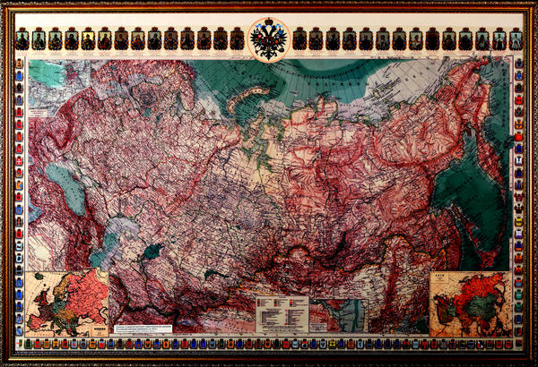