The exhibition presents an axonometric map on a paper base of irregular shape, close to triangular and glued from several fragments. It is executed in colored pencils, ink and watercolors. The map shows the central part of the city between the Kotorosl and Volga rivers, city buildings, churches, towers and fortifications, streets and agricultural land. The map is provided with an index of names of churches, streets, names or surnames of house owners. The map shows the fortifications of Zemlyanoy Gorod (the outer ring of the city, surrounded by ramparts and a moat).
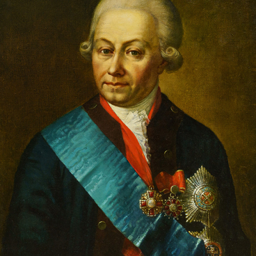
The layout corresponds to the period of 1760–1770, i.e. it was made before the implementation of the regular building scheme of Yaroslavl. In 1777, Yaroslavl became the center of a large province that united several northern governorates, and General-en-Chef Alexey Melgunov was appointed to govern it. The city urgently needed to build administrative buildings to accommodate numerous services of the local government of the vast territory. But it was not allowed to construct such large and important buildings without a general scheme, and Melgunov insisted on the revision of the original plan of 1769. A new regular scheme of Yaroslavl was developed in 1778 and approved anew by the Empress.
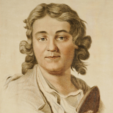
There is no designer’s signature on the drawing of this project, but according to a number of circumstantial evidence, it is attributed to Ivan Yegorovich Starov, who worked for many years in the “commission on stone construction” and drew up 15 general schemes, including those for Kostroma, Tomsk, Pskov, Voronezh, and Vitebsk. This scheme, successfully realized in kind, did not cover the entire city, but only its core, and the territory of the Kremlin was not laid out. The Rubleny Gorod (the area with log houses) and the Posad (settlements) on the other bank were laid out much later — in the early 19th century.
The composition of the city scheme was based on the
radial concentric and rectangular system of planning, or, more precisely, on
the further development of this system, spontaneously developed as early as in
the 16th and 17th centuries. The regular scheme preserved almost the entire
stone buildings of the city, only the blind towers of the settlement
fortifications were demolished due to their redundancy and dilapidation. The
project also regulated the type of materials of walls and the height of
buildings, as well as sanitary and health-improving measures.